Sierra Negra Volcano, Galápagos Islands Deployment
In July and August of 2009, seven scientists deployed several seismic sensors for a two-year multidisciplinary study of one of the world's most active volcanoes, the Sierra Negra Volcano of the Galápagos Islands. The project's official name is “Collaborative Research: An integrated seismic-geodetic study of active magmatic processes at Sierra Negra volcano, Galápagos Islands.”
The Galápagos Islands lie along the equator, and are about 1000 km (600 miles) west of Ecuador, South America. These islands have formed over millions of years, as the sea floor slowly moves eastward, passing over a local “hotspot”, or magma plume, deep underground. The Hawaiian Islands are another example of an island chain being caused by a hotspot, but the Galápagos volcano chain is different in many respects, and deserving of study. Understanding how plumes of hot magma navigate through oceanic crust is critically important for understanding and predicting the effects of earthquakes and volcanic eruptions.
While Hawaiian volcanoes typically have long fissure vents shaped like lines, the Galápagos volcanoes of Isabela produce large craters. Finding out why magma is deposited differently in the Galápagos region is one of the project's major goals. Scientists describe the processes in Hawaii and the Galápagos as “underplating” and “overplating” respectively. In the Hawaiian Islands, a thick, bulging mantle lies just beneath a thin layer of oceanic crust (underplating); in contrast, in the Galápagos region, the thickened crust is thought to form as magma from the mantle pools and differentiates in the crust before it erupts (overplating, volcanism). Seismic imaging with the results of the two-year data collection effort will shed light on what is happening deep in the crust below the Galápagos.
|
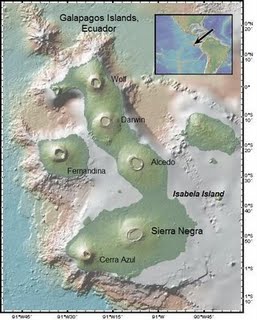
Map showing location of the Sierra Negra volcano in the Galápagos Islands (Isabela). Courtesy Lisa Hjelm. |
 |
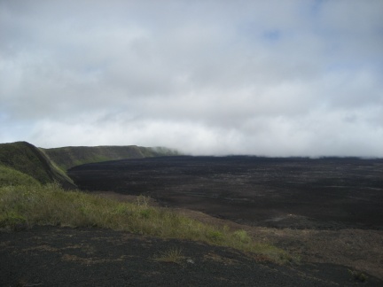 |
Sierra Negra Volcano, in the Galápagos Islands. |
|
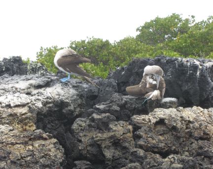
The team finds some of the famed Blue Footed Boobies of the Galápagos. |
 |
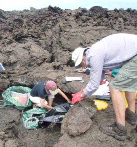 |
PI's Cindy Ebinger and Falk Amelung, deploying a seismometer. |
|
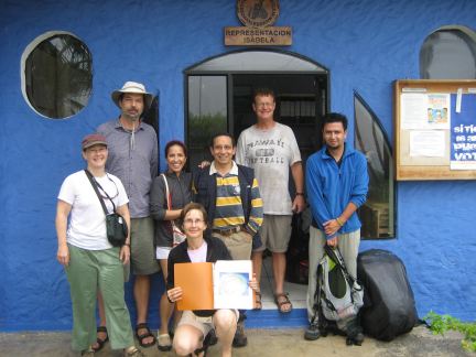
The scientific team: Left-right, Lisa Hjelm, Geologist/Teacher; Falk Amelung, PI; Eliana Arias-Dotson, PASSCAL Field Engineer; Cindy Ebinger, PI; Mario Ruiz, Seismologist/Volcanologist; Denny Geist, PI; Daniel Pacheco, Graduate Student |
 |
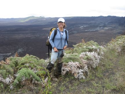 |
Eliana Arias-Dotson, PASSCAL Field Engineer, poses in front of the volcano. |
|
On an inflatable boat enroute to the main boat, the Pirata: grad student Daniel Pacheco, Captain Lenin, Eliana Arias-Dotson of PASSCAL, and Geologist/Teacher Lisa Hjelm. |
 |
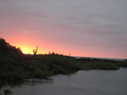 |
A beautiful sunset comes to the Galápagos. |
For more information and photographs from this summer's deployment, check out Geologist/Teacher Lisa Hjelm's Sierra Negra 2009 blog.
See also a related news release from the University of Miami, NSF Funds Study of Geodesy, Seismology, and Volcanology on Isla Isabela in the Galapagos.
